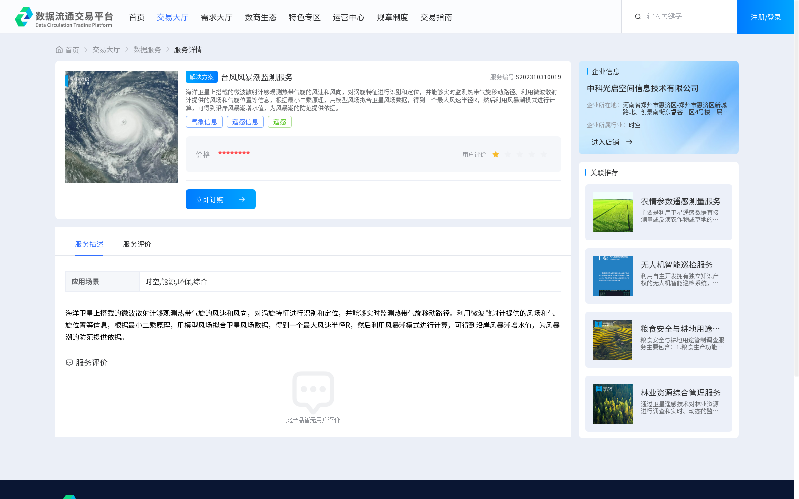
台风风暴潮监测服务
收藏资源简介:
海洋卫星上搭载的微波散射计够观测热带气旋的风速和风向,对涡旋特征进行识别和定位,并能够实时监测热带气旋移动路径。利用微波散射计提供的风场和气旋位置等信息,根据最小二乘原理,用模型风场拟合卫星风场数据,得到一个最大风速半径R,然后利用风暴潮模式进行计算,可得到沿岸风暴潮增水值,为风暴潮的防范提供依据。
Microwave scatterometers onboard ocean satellites can observe wind speed and direction of tropical cyclones, identify and locate their vortex characteristics, and monitor the moving tracks of tropical cyclones in real time. Using information such as wind fields and cyclone positions provided by microwave scatterometers, satellite wind field data is fitted with a model wind field based on the principle of least squares to obtain the maximum wind speed radius R. Then, calculations are carried out via the storm surge model to acquire coastal storm surge water level increment values, which provides a reliable basis for storm surge prevention and preparedness.