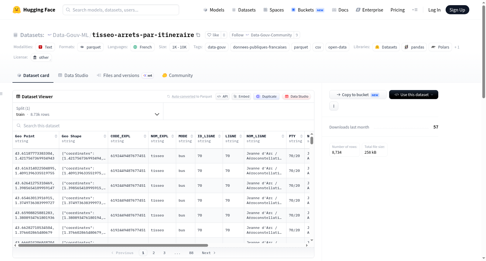
Data-Gouv-FR/tisseo-arrets-par-itineraire
收藏资源简介:
Tisséo公共交通网络中每条运营路线的所有交通方式(公交、Linéo、地铁、有轨电车、缆车、校车)物理站点的有序列表的制图表示,以及相关属性数据。公交、Linéo和校车的物理站点对应公交候车亭或站杆的位置。地铁、有轨电车和缆车站点的几何形状对应站台中心。注意:此数据集中站点不唯一,每个物理站点会根据其服务的运营路线数量重复出现。该网络对应于计划网络,如公共交通管理软件Hastus中所定义。它不反映实时网络,实时网络会因交通限制(如道路工程、施工、罢工、示威等导致的几小时到几天的绕行)而不断变化。在此数据集中,绕行仅在持续时间超过3个月或对用户出行产生重大影响(如高流量线路、大量站点未服务等)时被考虑。此制图参考数据的更新周期为一周。
Cartographic representation of the ordered list of physical stops for all modes of transport (bus, Linéo, metro, tramway, cable car, school bus) on each operating route of the Tisséo public transport network, along with associated attribute data. Physical stops for bus, Linéo, and school bus correspond to the locations of bus shelters or stop poles, while the geometry of metro, tramway, and cable car stops matches the platform center. Note: Stops in this dataset are not unique; each physical stop will be repeated based on the number of operating routes it serves. This network corresponds to the planned network as defined in the public transport management software Hastus, and does not reflect the real-time network, which is constantly changing due to traffic restrictions such as detours lasting hours to days caused by road works, construction, strikes, demonstrations, and other similar events. In this dataset, detours are only considered if they last more than 3 months or have a significant impact on user travel, such as high-volume routes with a large number of unserved stops. The update cycle for this cartographic reference dataset is one week.