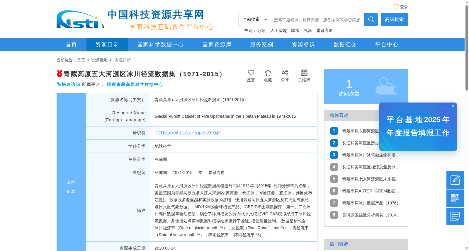
青藏高原五大河源区冰川径流数据集(1971-2015)
收藏资源简介:
青藏高原五大河源区冰川径流数据集覆盖时间从1971年到2015年, 时间分辨率为逐年,覆盖范围为青藏高原五条大江大河源区(黄河源,长江源,澜沧江源,怒江源,雅鲁藏布江源)。 数据以多源遥感和实测数据为基础,使用青藏高原五大河源区及其周边气象站点日尺度气象数据、UMD-1KM的全球植被产品、IGBP-DIS土壤数据库、第一、二次冰川编目数据等驱动模型,耦合了冰川模块的分布式水文模型VIC-CAS模拟形成了冰川径流数据。并使用站点实测数据对模拟结果进行了验证, 增强质量控制。 数据指标包含:冰川径流率(Rate of glacier runoff: %),总径流(Total Runoff,mm/a),雪径流率(Rate of snow runoff: %),降雨径流率 (降雨径流率:%)。
The Glacier Runoff Dataset of the Source Regions of the Five Major Rivers on the Qinghai-Tibet Plateau covers the period from 1971 to 2015, with an annual temporal resolution, and spans the source regions of five major rivers on the Qinghai-Tibet Plateau: the Source Region of the Yellow River, the Source Region of the Yangtze River, the Source Region of the Lancang River, the Source Region of the Nu River, and the Source Region of the Yarlung Zangbo River. This dataset is developed based on multi-source remote sensing and in-situ measured data. Daily meteorological data from meteorological stations within and around the source regions of the five major rivers on the Qinghai-Tibet Plateau, the UMD-1KM global vegetation product, the IGBP-DIS soil database, the first and second Chinese Glacier Inventory datasets, and other relevant data were used to drive the model. The glacier runoff data was generated through simulations using the VIC-CAS, a distributed hydrological model coupled with a glacier module. The simulation results were validated against in-situ station measured data to enhance quality control. The dataset includes the following indicators: glacier runoff rate (Rate of glacier runoff: %), total runoff (Total Runoff, mm/a), snow runoff rate (Rate of snow runoff: %), and rainfall runoff rate (Rate of rainfall runoff: %).