
AirSim360
收藏资源简介:
AirSim360是由影石创新科技研究所等机构联合创建的无人机全景仿真数据集,旨在为空间智能提供大规模、多样化的全景视觉数据。该数据集包含超过6万条全景样本,涵盖高分辨率图像及像素级几何、语义与实例标注,数据通过基于Unreal Engine的高保真渲染引擎合成,并采用立方体面拼接与等距柱状投影技术生成无缝全景视图。数据集创建过程集成了交互式行人感知系统与自动化轨迹生成范式,模拟了动态人类行为与复杂飞行场景。该数据集主要应用于无人机全景感知任务,如深度估计、全景分割、人体关键点检测与视觉语言导航,旨在解决真实世界全景数据稀缺的瓶颈,推动具身智能与自主导航系统的发展。
AirSim360 is a drone panoramic simulation dataset jointly developed by Insta360 Innovation Research Institute and other collaborating institutions. It aims to provide large-scale and diverse panoramic visual data for spatial intelligence. This dataset contains over 60,000 panoramic samples, covering high-resolution images as well as pixel-level geometric, semantic and instance annotations. The data is synthesized via a high-fidelity rendering engine based on Unreal Engine, and seamless panoramic views are generated using cube map stitching and equirectangular projection technologies. The dataset creation process integrates an interactive pedestrian perception system and an automated trajectory generation paradigm, simulating dynamic human behaviors and complex flight scenarios. This dataset is primarily applied to drone panoramic perception tasks, including depth estimation, panoramic segmentation, human keypoint detection and vision-language navigation. It is designed to address the bottleneck of scarce real-world panoramic data and advance the development of embodied intelligence and autonomous navigation systems.
AirSim360 数据集概述
数据集名称
AirSim360 (Omni360-X)
核心描述
AirSim360 是一个用于无人机场景的大规模全向(全景)仿真平台。它专注于从空中视角获取全向数据,支持利用无人机进行广泛的场景采样。该平台强调低空地面环境中三个关键组件(静态环境、无人机和人类行为者)的一致性与兼容性,这与以人为中心的现实世界的主要特征紧密契合。
数据集组织
为服务于不同的研究目标,Omni360-X 数据集被组织为三个子集:
- Scene(场景)子集:侧重于像素级的几何、语义和实例级理解。
- Pedestrian(行人)子集:包含一个交互式的行人感知系统,用于建模人类行为。
- Trajectory(轨迹)子集:支持导航任务的自动化轨迹生成范式。
关键技术特点
- 渲染对齐的数据与标注范式:用于像素级的几何、语义和实例级理解。
- 交互式行人感知系统:用于建模人类行为。
- 自动化轨迹生成范式:以支持导航任务。
实验性能
数据集在多个任务上进行了基准测试,证明了其对现实世界场景的益处。使用模拟数据在公共真实世界验证集上进行评估时,能持续提升模型的性能和鲁棒性。
1. 单目行人距离估计 (MPDE)
使用 Omni360-Human 数据集进行训练,显著提升了单目行人距离估计模型的跨域泛化能力。
- 在公开测试集上,平均角度误差从 21.21° 降至 17.02°,平均距离误差从 0.484 m 降至 0.458 m。
- 具体性能提升见下表:
| 训练集 | 测试集 | 距离误差 (m) ↓ | 角度误差 (°) ↓ |
|---|---|---|---|
| nuScenes | KITTI | 0.822 | 31.50 |
| nuScenes + Omni360 | KITTI | 0.809 | 31.20 |
| nuScenes | FreeMan | 0.260 | 17.00 |
| nuScenes + Omni360 | FreeMan | 0.228 | 11.60 |
2. 全景深度估计 (域外泛化)
进行域外实验以评估 Omni360 数据集的泛化能力。在 Omni360 上训练的模型对未见环境(SphereCraft)表现出更好的泛化性能。
| 实验类型 | 训练数据 | 测试数据 | AbsRel ↓ | RMSE ↓ |
|---|---|---|---|---|
| 域外泛化 | Deep360 | SphereCraft | 8.2570 | 0.0566 |
| 域外泛化 | Omni360 | SphereCraft | 5.4372 | 0.0435 |
3. 全景分割
引入大规模 Omni360-Scene 分割数据,在 WildPASS 验证集上为像素级场景解析带来了显著的性能提升。
| 任务 | 训练数据 | 性能指标 | 结果 |
|---|---|---|---|
| 语义分割 | WildPASS Baseline | mIoU ↑ | 58.0 |
| WildPASS + Omni360 | 67.4 | ||
| 实体分割 | WildPASS Baseline | mAP ↑ | 24.6 |
| WildPASS + Omni360 | 38.9 |
引用信息
bibtex @article{ge2025airsim360, title={AirSim360: A Panoramic Simulation Platform within Drone View }, author={Ge, Xian and Pan, Yuling and Zhang, Yuhang and Li, Xiang and Zhang, Weijun and Zhang, Dizhe and Wan, Zhaoliang and Lin, Xin and Zhang, Xiangkai and Liang, Juntao and Li, Jason and Jiang, Wenjie and Du, Bo and Yang, Ming-Hsuan and Qi, Lu}, journal={arXiv}, year={2025} }
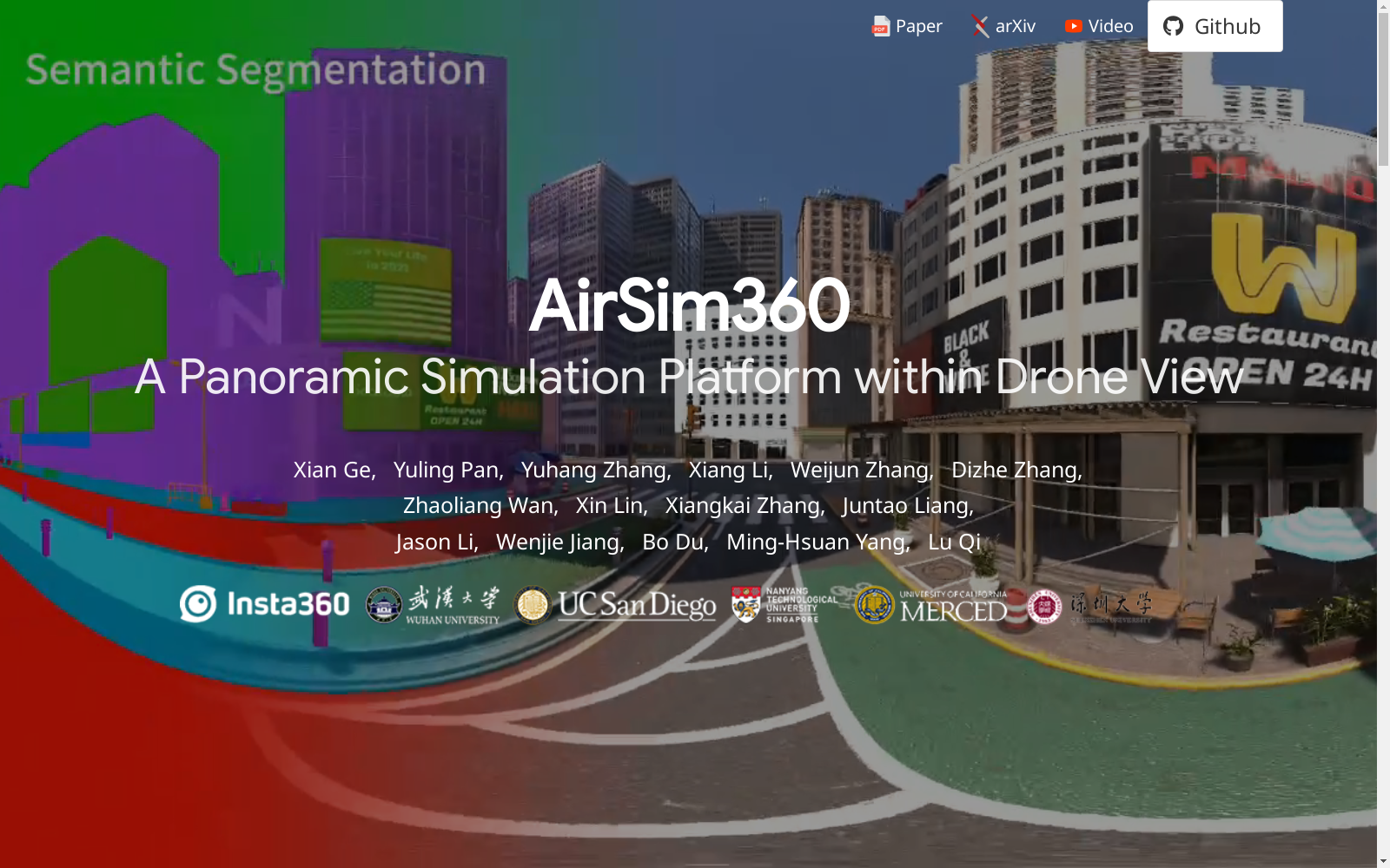
- 1AirSim360: A Panoramic Simulation Platform within Drone View影石创新科技研究所、武汉大学、加州大学圣地亚哥分校、南洋理工大学、加州大学默塞德分校、深圳大学 · 2025年


