IR-VL328
收藏资源简介:
该数据集用于跨视角无人机定位实验,包含无人机和卫星图像数据,按照University1652-Baseline和SUES-200-Benchmark的格式组织。数据集目录结构包括训练集(train)中的无人机(drone)和卫星(satellite)图像文件夹,以及查询(query_drone/query_satellite)和图库(gallery_drone/gallery_satellite)文件夹。无人机图像为.jpg格式,卫星图像为.png格式。
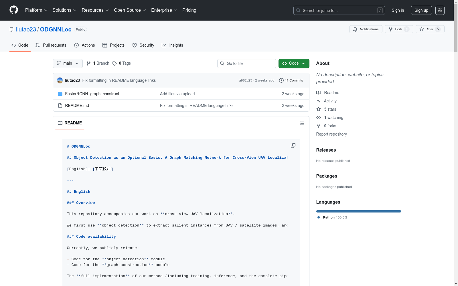
This dataset is intended for cross-view drone localization experiments, containing drone and satellite image data, and is structured following the specifications of University1652-Baseline and SUES-200-Benchmark. The dataset’s directory structure includes folders for drone and satellite images in the training set (train), as well as query set folders (query_drone/query_satellite) and gallery set folders (gallery_drone/gallery_satellite). Drone images are stored in .jpg format, while satellite images are saved in .png format.
ODGNNLoc 数据集概述
数据集基本信息
- 数据集名称:IR-VL328
- 研究领域:跨视角无人机定位
- 核心方法:基于目标检测和图神经网络的跨模态匹配
数据集用途
- 用于跨视角无人机定位研究
- 支持无人机与卫星图像之间的跨模态匹配
- 适用于跨时间、跨视角、跨模态的鲁棒匹配任务
数据集结构
目录组织
IR-VL328/ ├── train/ │ ├── drone/ │ │ ├── 0000/ 至 0200/ 子目录 │ │ └── 包含 .jpg 格式图像 │ └── satellite/ │ ├── 0000/ 至 0200/ 子目录 │ └── 包含 .png 格式图像 ├── query_drone/ ├── query_satellite/ ├── gallery_drone/ └── gallery_satellite/
文件格式
- 无人机图像:.jpg 格式
- 卫星图像:.png 格式
数据获取方式
数据集下载链接
- 百度网盘:https://pan.baidu.com/s/1yarjck2JBaXJ7s3nDZaITw?pwd=52bj
- Google Drive:https://drive.google.com/file/d/1okFeWJIuZ49TnkZkkoOYTOl_b0THwUdc/view?usp=sharing
预训练权重
- 百度网盘:https://pan.baidu.com/s/17QHtGe5YWN-g6inP94h7gA
- 提取码:52sb
数据集特点
- 遵循 University1652-Baseline 和 SUES-200-Benchmark 的目录规范
- 便于复用现有检索框架和评测脚本
- 支持无人机与卫星图像的跨视角匹配任务
引用信息
bibtex @misc{liu2025objectdetectionoptionalbasis, title={Object Detection as an Optional Basis: A Graph Matching Network for Cross-View UAV Localization}, author={Tao Liu and Kan Ren and Qian Chen}, year={2025}, eprint={2511.02489}, archivePrefix={arXiv}, primaryClass={cs.CV}, url={https://arxiv.org/abs/2511.02489}, }