Datasets of spatial extent and multi-source remote sensing feature samples of major global sea surface oil spill events in 2015-2024
收藏资源简介:
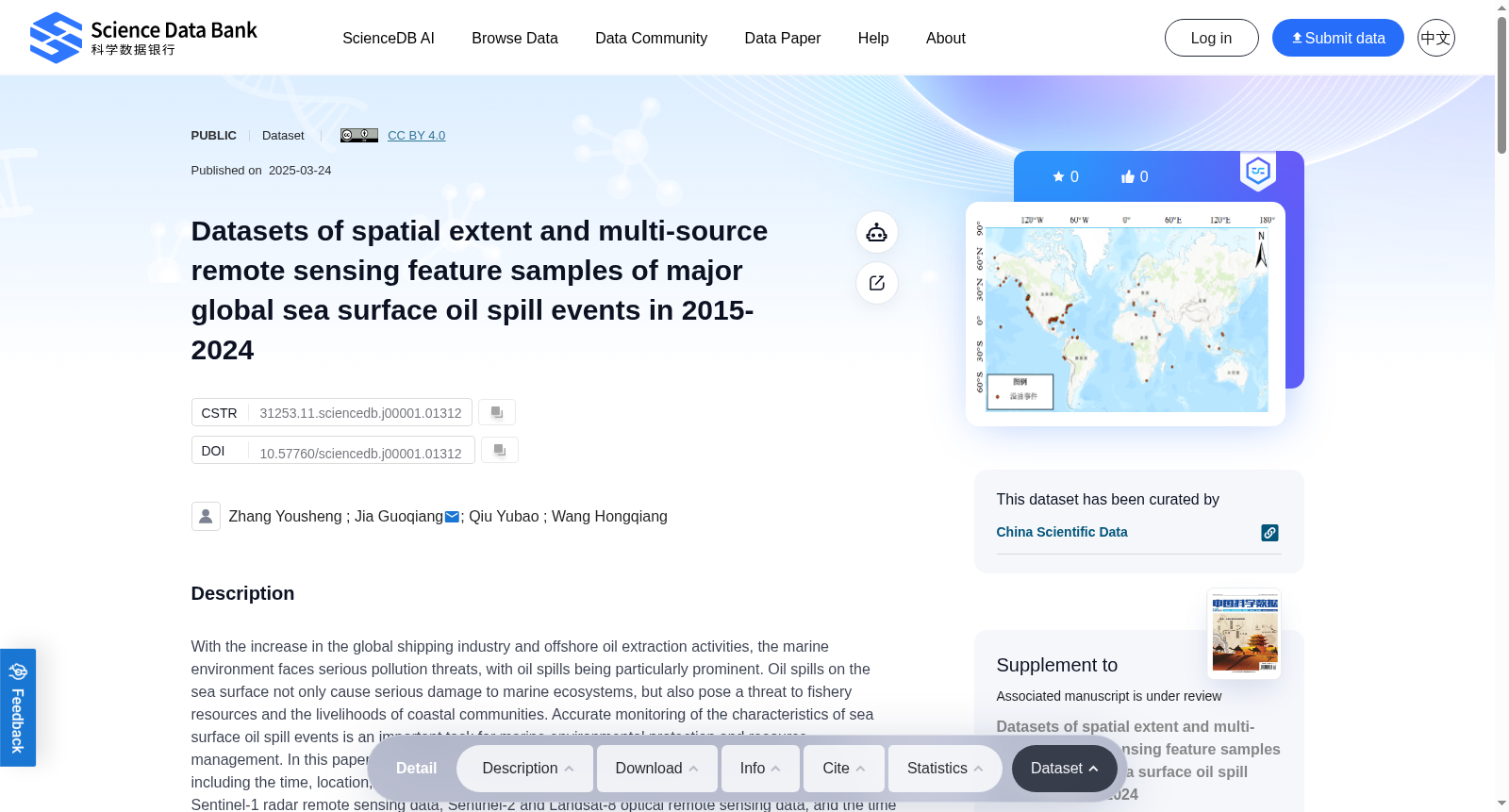
With the increase in the global shipping industry and offshore oil extraction activities, the marine environment faces serious pollution threats, with oil spills being particularly prominent. Oil spills on the sea surface not only cause serious damage to marine ecosystems, but also pose a threat to fishery resources and the livelihoods of coastal communities. Accurate monitoring of the characteristics of sea surface oil spill events is an important task for marine environmental protection and resource management. In this paper, we collect the global major marine oil spill events during the past decade, including the time, location, and type of the oil spill events. The multis-source data are used including Sentinel-1 radar remote sensing data, Sentinel-2 and Landsat-8 optical remote sensing data, and the time and location information of the oil spill events. We employ the support vector machine method to extract the oil spill extent, and construct the global multi-source remote sensing feature sample dataset of sea surface oil spill from 2015 to 2024. The dataset includes spatial extent data of 147 oil spill events, with a total oil spill area of 827.81 km², covering 13 major sea areas around the world. Oil spill sample points are generated, including 142,175 sample points with nine radar features and 71,618 sample points with four optical features. This dataset provides accurate information on the spatial extent of oil spill on the sea surface by matching with historical oil spill events, which is lacking in traditional oil spill inventory data, and could enhance the understanding of the spatial and temporal distribution characteristics of oil pollution. Moreover, the constructed oil spill sample data of optical and radar features could provide remote sensing information of samples at different times and under different geographic environments, which provides high-quality training samples for the development of the intelligent technology of oil spill detection and prediction.
随着全球航运业与近海石油开采活动的持续增长,海洋环境面临严峻的污染威胁,其中海面溢油问题尤为突出。海面溢油不仅会对海洋生态系统造成严重破坏,还会威胁渔业资源及沿海社区的生计。精准监测海面溢油事件的特征,是海洋环境保护与资源管理领域的一项核心任务。 本文收集了近十年间全球主要海洋溢油事件的相关数据,涵盖溢油事件的发生时间、位置与类型。研究采用多源数据,包括Sentinel-1雷达遥感数据、Sentinel-2与Landsat-8光学遥感数据,以及溢油事件的时间与位置信息。我们通过支持向量机(Support Vector Machine,SVM)方法提取溢油范围,并构建了2015年至2024年的全球海面溢油多源遥感特征样本数据集。 该数据集包含147起溢油事件的空间范围数据,总溢油面积达827.81平方千米,覆盖全球13个主要海域。此外还生成了溢油样本点:其中具备9项雷达特征的样本点共142175个,具备4项光学特征的样本点共71618个。 相较于传统溢油清单数据,本数据集通过匹配历史溢油事件,提供了传统数据中较为缺失的精准海面溢油空间范围信息,能够加深对油污染时空分布特征的认知。此外,所构建的光学与雷达特征溢油样本数据,可提供不同时间、不同地理环境下的样本遥感信息,为溢油检测与预测智能技术的研发提供高质量训练样本。