2021年赣州柑橘分类数据
收藏资源简介:
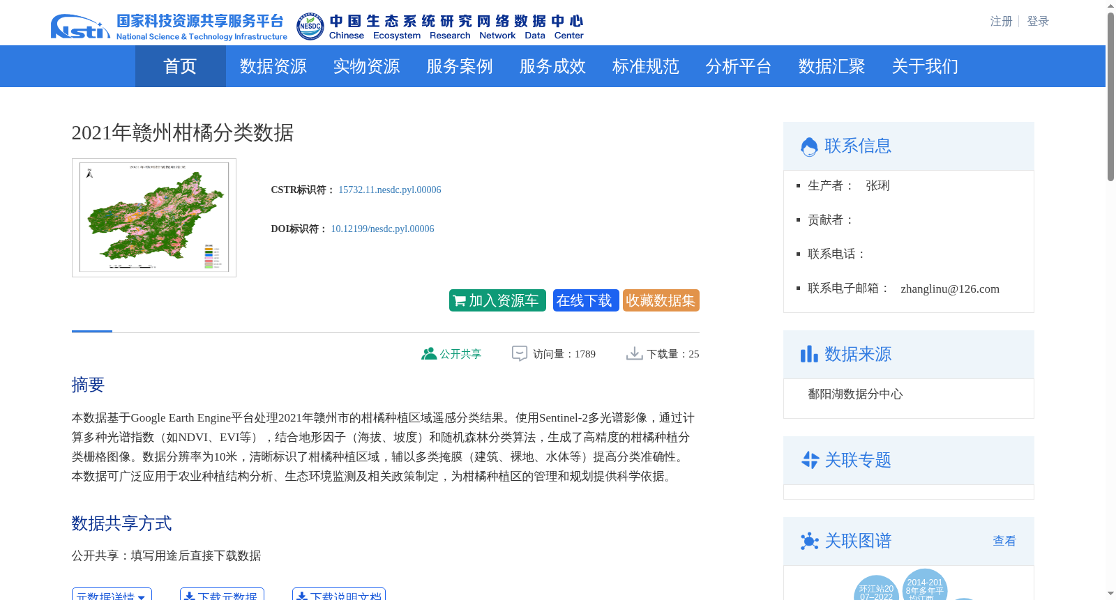
本数据基于Google Earth Engine平台处理2021年赣州市的柑橘种植区域遥感分类结果。使用Sentinel-2多光谱影像,通过计算多种光谱指数(如NDVI、EVI等),结合地形因子(海拔、坡度)和随机森林分类算法,生成了高精度的柑橘种植分类栅格图像。数据分辨率为10米,清晰标识了柑橘种植区域,辅以多类掩膜(建筑、裸地、水体等)提高分类准确性。本数据可广泛应用于农业种植结构分析、生态环境监测及相关政策制定,为柑橘种植区的管理和规划提供科学依据。
This dataset is derived from remote sensing classification results of citrus planting areas in Ganzhou City, 2021, processed through the Google Earth Engine platform. Sentinel-2 multispectral imagery was utilized, and high-precision classified raster images of citrus planting areas were generated by calculating multiple spectral indices (e.g., NDVI, EVI), incorporating topographic factors including elevation and slope, and adopting the random forest classification algorithm. With a spatial resolution of 10 meters, the dataset clearly identifies citrus planting regions, and multiple types of masks (e.g., buildings, bare land, water bodies) are applied to improve classification accuracy. This dataset can be widely used in agricultural planting structure analysis, ecological environment monitoring and relevant policy formulation, providing scientific support for the management and planning of citrus planting areas.