Data-Gouv-FR/point-de-repere-des-routes-departementales-nationales-et-autoroutes
收藏资源简介:
该数据集包含法国省级、国家级和高速公路的路标点(PR)和路段起点(DS)。通过WFS服务生成两个CSV文件:pr_national_autoroutes.csv(约48,000条记录,涵盖国家级道路(前缀N…)和高速公路(前缀A…)的路标点)和pr_departemental.csv(约550,000条记录,涵盖省级道路(前缀D…)的路标点)。数据来源于IGN GeoPackage原始文件(GPKG格式,WGS84投影),并转换为CSV格式。字段包括:X和Y(WGS84下的经度和纬度)、route(路线代码,如N7、A10、D108)、numero(路线上的点编号)、abscisse(沿路线的PR位置,以米为单位)、cote(道路侧:D=右侧,G=左侧,U=唯一)、type_de_pr(点类型:PR=路标点,DS=路段起点等)、statut(点状态,如PR有效)、code_insee_du_departement(所属部门的INSEE代码)、identifiant_de_section(相关路段标识符)。其他列(如gml_id、cleabs、date_creation、date_modification、sources、gestionnaire等)是IGN内部元数据,可根据需要保留或忽略。数据源为BD TOPO® V3“所有主题”(2025年3月)GeoPackage,来自IGN Géoplateforme,通过WFS导出并转换为CSV。
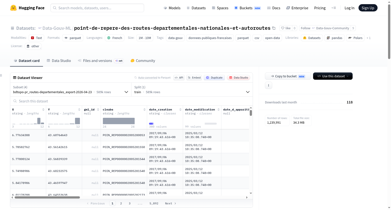
Set of road reference points (PR) and section starts (DS) for departmental, national and motorway roads in France. Exploited via the WFS service to produce two CSV files: pr_national_autoroutes.csv: reference points for national roads (prefix N…) and motorways (prefix A…), approximately 48,000 records; pr_departemental.csv: reference points for departmental roads (prefix D…), approximately 550,000 records. These files come from the original GeoPackage (GPKG format, WGS84 projection – EPSG:4326) made available on the IGN Géoplateforme (https://data.geopf.fr) and converted to CSV. Description of fields (identical in both files): X, Y: longitude (X) and latitude (Y) in WGS84; route: road code (e.g., N7, A10, D108); numero: reference point number specific to the road; abscisse: PR position (in meters) along the road; cote: side of the roadway (D = right, G = left, U = unique); type_de_pr: point type (PR = reference point, DS = section start, etc.); statut: point status (e.g., valid PR); code_insee_du_departement: INSEE code of the associated department; identifiant_de_section: identifier of the associated road section. Other columns (gml_id, cleabs, date_creation, date_modification, sources, gestionnaire, etc.) are internal IGN metadata and can be kept or ignored as needed. Source: BD TOPO® V3 All themes (March 2025) GeoPackage, layer BDTOPO_V3:point_de_repere, IGN Géoplateforme – export via WFS and conversion to CSV.