Data-Gouv-FR/zfe-zone-a-faibles-emissions-1
收藏资源简介:
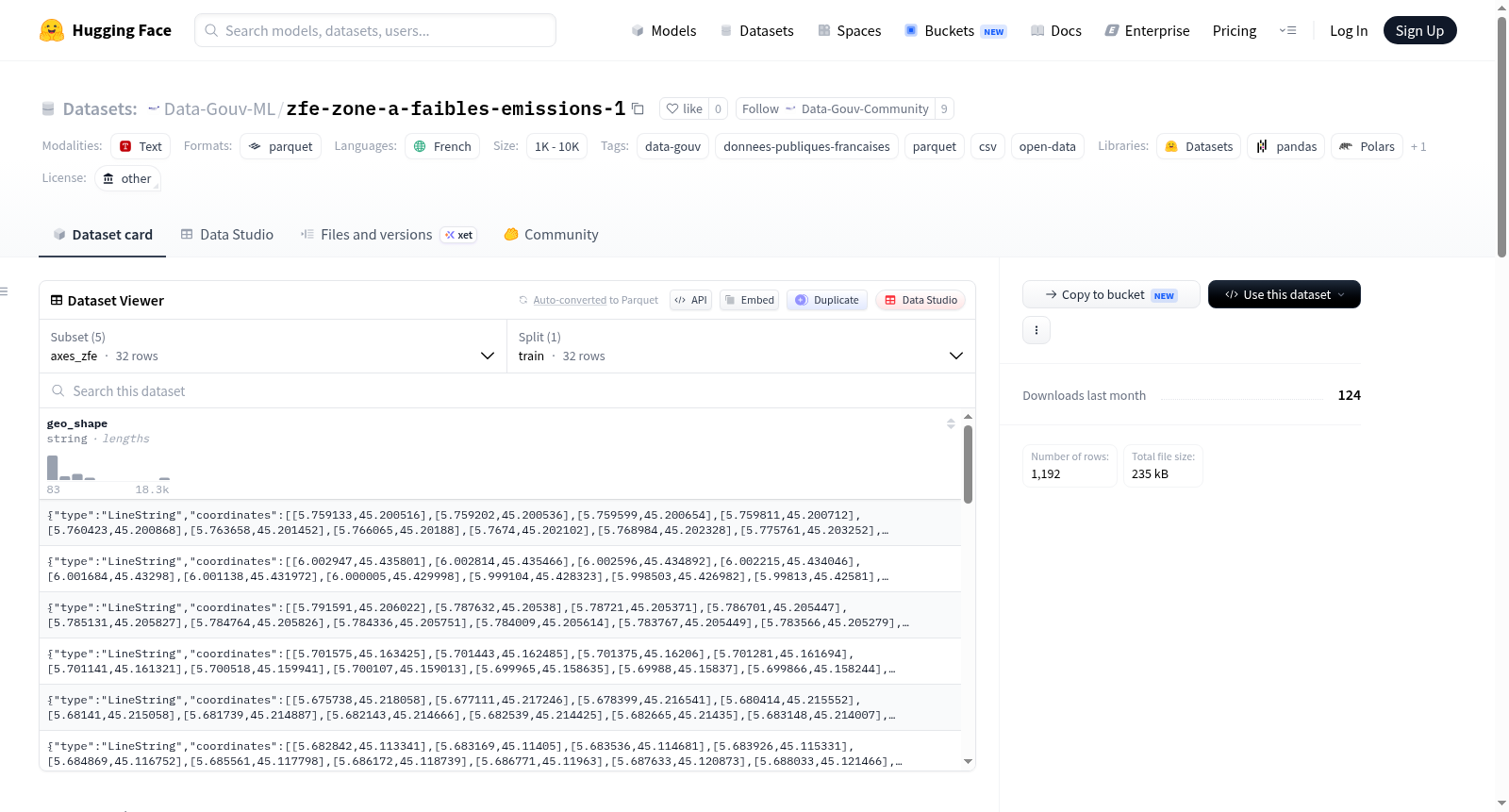
该数据集包含法国格勒诺布尔都市区低排放区(ZFE)的相关地理和基础设施数据。数据涵盖ZFE的边界范围、轴线(即被排除在ZFE之外的路线)、基础设施(如电动汽车充电站、天然气、液化石油气和氢气供应设施)、覆盖区域(根据Etalab标准化的地理JSON数据)以及特殊道路(根据Etalab标准化的地理JSON数据)。数据集以Parquet格式提供,分为五个子集:perimetre_zfe(ZFE边界)、axes_zfe(ZFE轴线)、infrastructures_zfe(ZFE基础设施)、zfeaires(ZFE覆盖区域)和zfevoies(ZFE特殊道路)。这些数据旨在支持本地使用,部分数据遵循法国政府(Etalab)的标准化模式,用于交通和环境管理。数据来源为法国公开数据平台data.gouv.fr。
This dataset contains geographic and infrastructure data related to the Low Emission Zone (ZFE) in the Grenoble metropolitan area of France. It covers the ZFE perimeter, axes (routes excluded from the ZFE), infrastructures (such as EV charging stations, natural gas, LPG, and hydrogen supply facilities), covered areas (geojson data normalized according to Etalab standards), and exceptional roads (geojson data normalized according to Etalab standards). The dataset is provided in Parquet format and divided into five subsets: perimetre_zfe (ZFE perimeter), axes_zfe (ZFE axes), infrastructures_zfe (ZFE infrastructures), zfeaires (ZFE covered areas), and zfevoies (ZFE exceptional roads). The data is intended for local use, with some parts following standardized schemas from the French government (Etalab) for transportation and environmental management. The data source is the French open data platform data.gouv.fr.