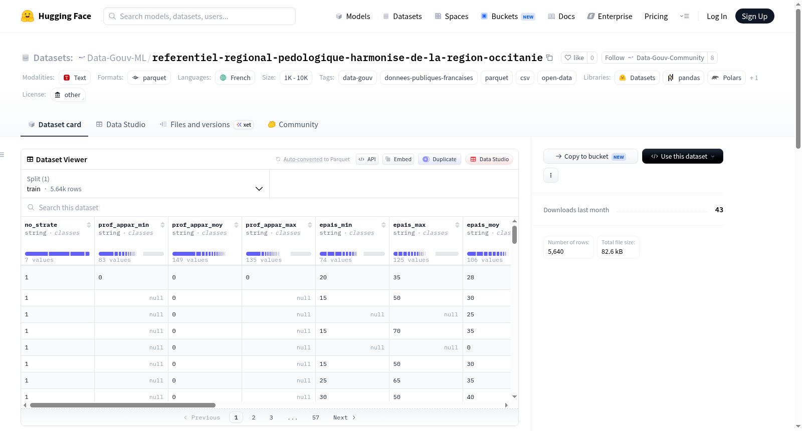
Data-Gouv-FR/referentiel-regional-pedologique-harmonise-de-la-region-occitanie
收藏资源简介:
该数据集是法国奥克西塔尼地区的统一区域土壤参考(Référentiel Régional Pédologique harmonisé),旨在以1/250,000比例尺提供土壤知识信息。收集的信息用于构建土壤空间分布的制图表征,以土壤制图单元(UCS)形式呈现,并关联到国家统一格式的DoneSol数据库。该数据集源于国家土壤清单、管理和保护计划(IGCS),由Laboratoire Écologie Fonctionnelle et Environnement、LISAH、Tarn农业商会和MIDIVAL在奥克西塔尼地区实施。数据可靠性应与宣布的使用比例尺(1/250,000)相符,不建议在文件指定精度更高级别解释数据,尤其不适用于社区以下尺度的专家分析。奥克西塔尼地区的RRP是通过对前Midi-Pyrénées和Languedoc-Roussillon地区的RRP进行图形和语义协调工作而创建的,这导致了对原始信息的修改(主要在省界处)。地图比例尺为1/250,000。语义数据以DoneSol3数据库格式存储,每个UCS及其包含的土壤类型单元(UTS)均被描述。因此,奥克西塔尼地区的统一RRP由图形层(.shp格式)和语义数据库(.mdb和.csv格式)组成。
This dataset refers to the Harmonized Regional Soil Reference (Référentiel Régional Pédologique harmonisé, RRP) for the Occitanie region of France, which is designed to deliver soil-related knowledge and information at a scale of 1:250,000. The collected data is used to construct cartographic characterizations of soil spatial distribution, presented as Soil Mapping Units (UCS), and linked to the nationally standardized DoneSol database. This dataset is derived from the National Soil Inventory, Management and Conservation Program (IGCS), and was implemented in the Occitanie region by the Laboratoire Écologie Fonctionnelle et Environnement, LISAH, the Tarn Chamber of Agriculture, and MIDIVAL. The reliability of the data should align with the declared usage scale (1:250,000); it is not recommended to interpret the data at a precision level higher than that specified in the document, and it is particularly unsuitable for expert analyses at scales finer than the community level. The RRP for the Occitanie region was developed via graphical and semantic harmonization of the RRPs from the former Midi-Pyrénées and Languedoc-Roussillon regions, leading to modifications of the original information primarily along provincial borders. The map scale is 1:250,000. Semantic data is stored in the DoneSol3 database format, with each Soil Mapping Unit (UCS) and its associated Soil Type Units (UTS) being fully described. Accordingly, the unified RRP for the Occitanie region comprises graphical layers in .shp format and a semantic database stored in .mdb and .csv formats.