
Swiss3DCities
收藏资源简介:
Swiss3DCities是一个覆盖2.7平方公里的大型户外城市3D点云数据集,由Nomoko AG和IDSIA创建,涵盖瑞士三个具有不同特征的城市。该数据集通过无人机搭载高分辨率相机拍摄的照片,利用摄影测量技术构建,并手动标注了每点语义标签,包含地形、建筑、植被、车辆和城市资产五类。数据集旨在训练和验证城市环境中的语义分割算法,适用于自动驾驶、游戏内容生成、增强现实和城市规划等领域。
Swiss3DCities is a large-scale outdoor urban 3D point cloud dataset spanning 2.7 square kilometers, developed by Nomoko AG and IDSIA, covering three Swiss cities with distinct characteristics. Constructed using photogrammetry technology from photos captured by high-resolution cameras mounted on unmanned aerial vehicles (UAVs), this dataset has been manually annotated with semantic labels for each point, including five categories: terrain, buildings, vegetation, vehicles, and urban assets. This dataset is designed for training and validating semantic segmentation algorithms in urban environments, and is applicable to fields such as autonomous driving, game content generation, augmented reality, and urban planning.
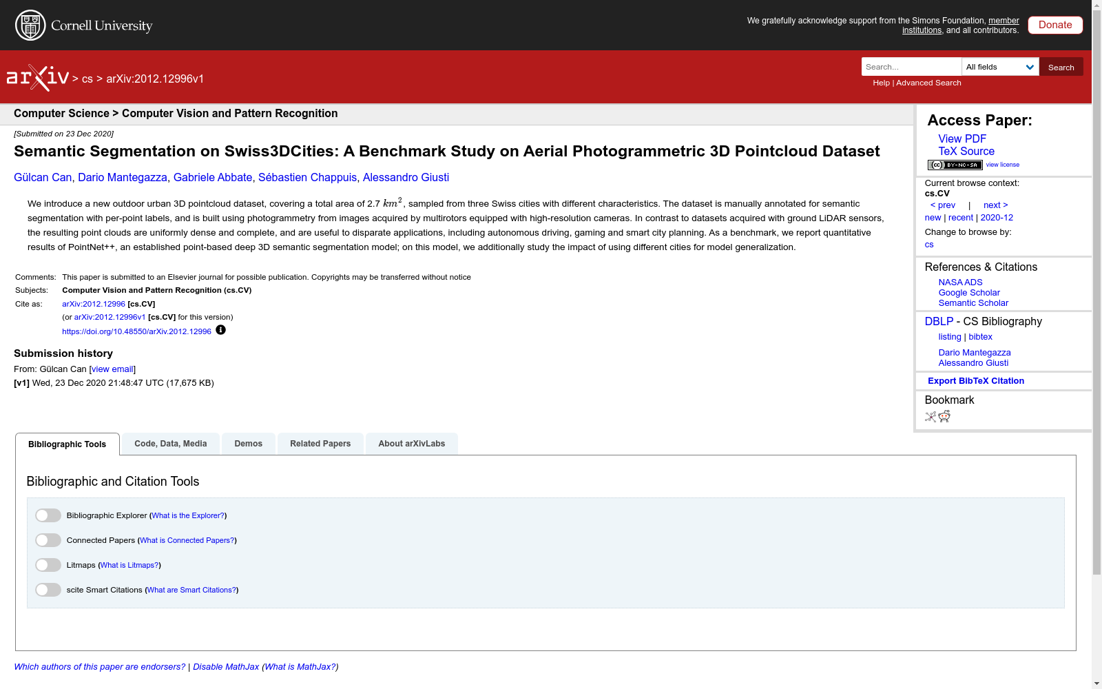
- 1Semantic Segmentation on Swiss3DCities: A Benchmark Study on Aerial Photogrammetric 3D Pointcloud DatasetNomoko AG, Zurich, Switzerland 2The Dalle Molle Institute for Artificial Intelligence (IDSIA), Viganello, Switzerland · 2020年


