
GTPBD (Global Terraced Parcel and Boundary Dataset)
收藏资源简介:
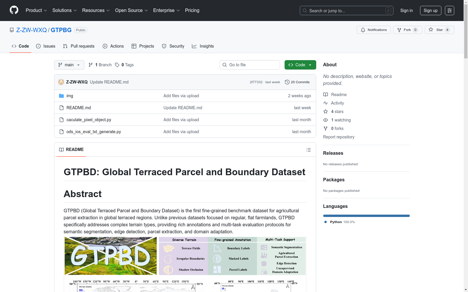
GTPBD数据集是一个全球梯田地块和边界数据集,包含超过200,000个复杂梯田地块的手动标注。数据集包括47,537张高分辨率图像,具有三个级别的标签,包括像素级边界标签、掩码标签和地块标签。该数据集覆盖中国七大地理区域和世界各地的跨大陆气候区域。GTPBD数据集适合用于语义分割、边缘检测、梯田地块提取和无监督领域适应(UDA)任务。该数据集为精细农业地形分析和跨场景知识迁移提供了基础设施。
The Global Terrace Plot and Boundary Dataset (GTPBD) is a manually annotated dataset containing over 200,000 complex terrace plots. It includes 47,537 high-resolution images with three levels of labels, namely pixel-level boundary labels, mask labels, and plot labels. This dataset covers seven geographic regions in China as well as cross-continental climatic regions worldwide. The GTPBD dataset is applicable to tasks including semantic segmentation, edge detection, terrace plot extraction, and unsupervised domain adaptation (UDA). It serves as an infrastructure for precision agricultural terrain analysis and cross-scenario knowledge transfer.
- 1GTPBD: A Fine-Grained Global Terraced Parcel and Boundary Dataset中山大学 · 2025年


