
FBIS-73M
收藏资源简介:
FBIS-73M是由欧洲空间局等机构联合构建的全球最大规模农田边界实例分割数据集,旨在为地理空间人工智能提供基础训练资源。该数据集包含7300万个独立农田实例,覆盖61个国家,整合了高分辨率(0.25-3米)与中分辨率(3-10米)的多源卫星影像数据,其数据主要来源于全球公共地籍登记系统。数据集通过创新的分辨率感知数据治理流程创建,针对行政地块合并问题,采用高分辨率手动分割与中分辨率图像空间像素同质化相结合的策略进行标签净化。本数据集专门用于训练全球农田边界描绘基础模型,可有效解决大尺度农业制图中因拓扑复杂、纹理相似和尺度差异导致的边界识别难题,为粮食安全评估、供应链透明化和碳核算提供核心空间数据支撑。
FBIS-73M is the world's largest instance-level segmentation dataset of farmland boundaries, jointly constructed by the European Space Agency (ESA) and other institutions, aiming to provide foundational training resources for geospatial artificial intelligence. This dataset contains 73 million independent farmland instances, covering 61 countries, and integrates multi-source satellite imagery data with high resolution (0.25–3 meters) and medium resolution (3–10 meters). Its data is primarily sourced from global public cadastral registration systems. The dataset is developed through an innovative resolution-aware data governance pipeline. To address the problem of administrative parcel merging, it adopts a strategy that combines high-resolution manual segmentation with spatial pixel homogenization of medium-resolution images for label purification. This dataset is specifically designed for training foundational models for global farmland boundary delineation, and can effectively solve boundary recognition challenges in large-scale agricultural mapping caused by complex topology, similar textures and scale differences, providing core spatial data support for food security assessment, supply chain transparency and carbon accounting.
数据集概述
核心任务
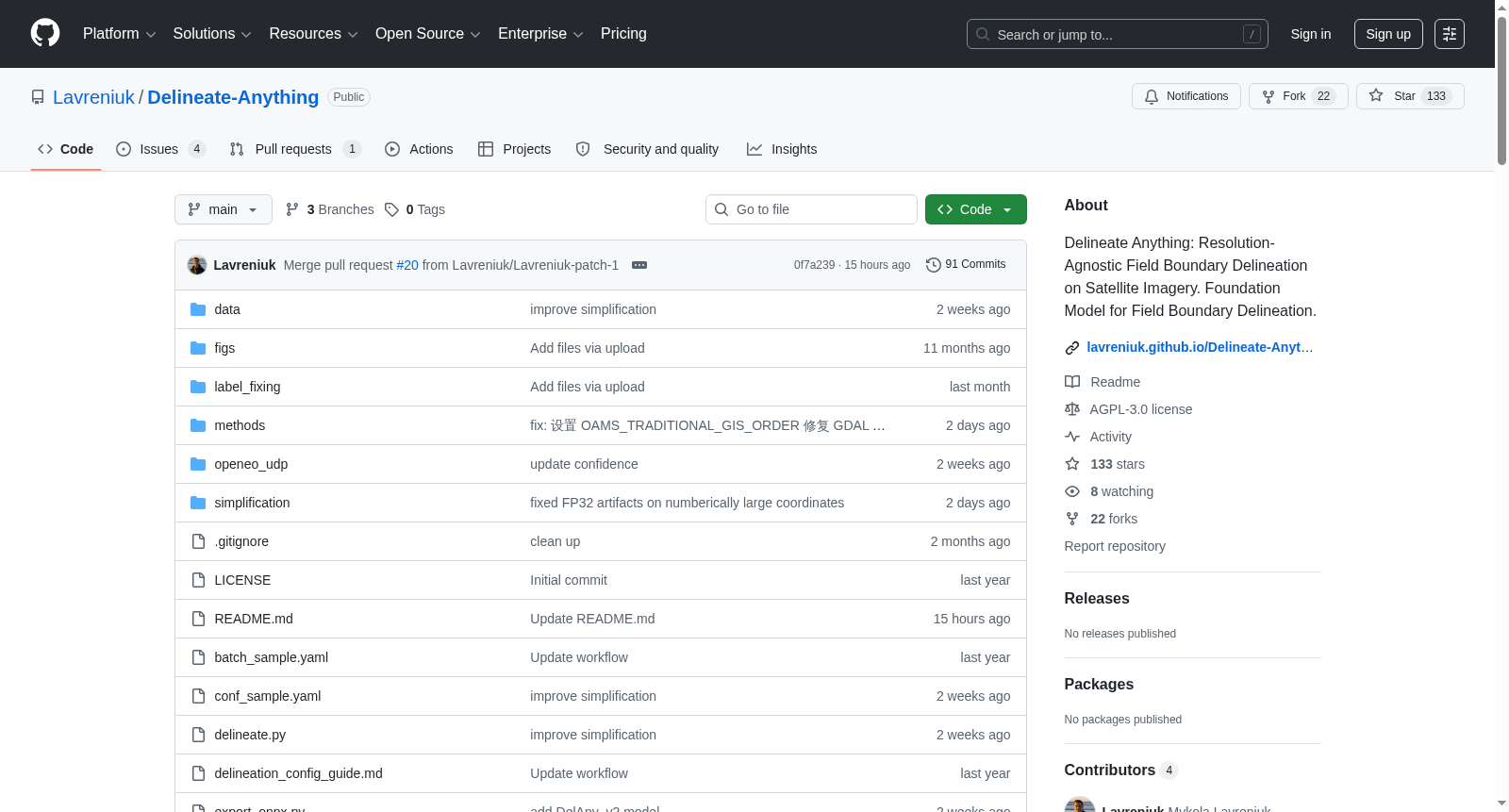
Delineate Anything 是一个基于深度学习的分辨率无关农田地块边界检测框架,能够从卫星影像中精确提取单个农田地块边界。
训练数据
- 数据集名称:FBIS-22M
- 实例规模:包含 2200万+ 农田地块边界实例
- 数据来源:Hugging Face 平台(FBIS-22M)
模型性能
| 模型版本 | mAP@0.5 | mAP@0.5:0.95 | 延迟 (ms) | 模型大小 | 下载链接 |
|---|---|---|---|---|---|
| Delineate Anything S | 0.632 | 0.383 | 16.8 | 17.6 MB | 下载S模型 |
| Delineate Anything | 0.720 | 0.477 | 25.0 | 125 MB | 下载标准模型 |
关键特点
- 分辨率无关:适用于多种卫星影像分辨率及不同地理区域
- 支持多种输入:可使用 RGB 影像,也可补充土地覆盖图(land cover map)提升精度
- 输出格式:矢量化地块边界,保存为 GeoPackage 格式
- 后处理工具:提供几何偏移校正脚本(
shift.py)
使用方式
- 在线试用:提供 Google Colab 演示,无需安装
- 本地部署:
- 支持 Linux 和 Windows 系统
- 需配置 Python 3.11 环境及 GDAL
- 运行
python delineate.py -b batch_sample.yaml进行推理
- 第三方集成:
- 已集成至 TorchGeo 库
- 可通过 Autobounds 在浏览器中直接使用
学术论文
- 基础版本:Delineate Anything (ECAI 2025)
- 扩展版本:Delineate Anything Flow
- 最新版本:Delineate Anything v2 (ECCV 2026)
许可协议
本项目采用 AGPL-3.0 开源许可证。
- 1Delineate Anything v2: A Global Foundation Model for Field Delineation欧洲空间局; 乌克兰国家科学院·空间研究所; 马里兰大学; 乌克兰国家技术大学 · 2026年


