Data-Gouv-FR/les-amenagements-cyclables-de-saint-marcellin
收藏资源简介:
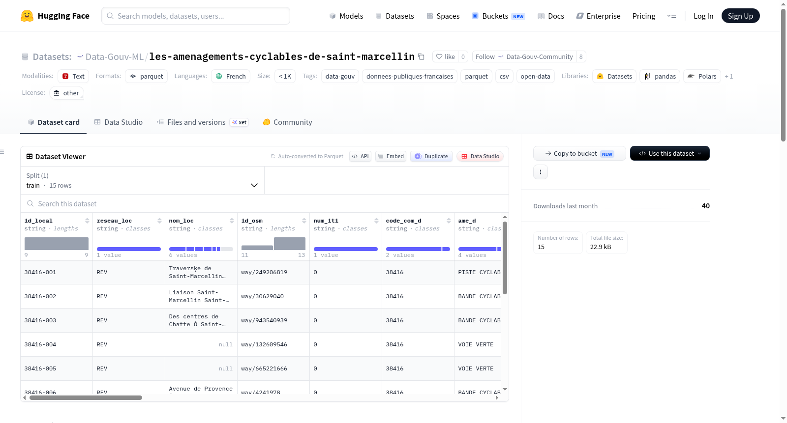
该数据集详细描述了法国圣马塞兰市的自行车道设施,包括自行车道的位置、车道方向、宽度、路段名称等信息。潜在用途包括:帮助市民识别自行车道并安全出行,识别自行车交通顺畅和缺乏基础设施的区域,以便市政部门优化规划自行车道建设和维护工程。数据内容包括:自行车道的地理位置、路段名称、自行车道方向、宽度、圣马塞兰的INSEE标识符、最近翻新日期、照明情况以及在自行车道位于道路上时的限速。数据收集过程主要基于OpenStreetMap数据,并由市政部门提供道路网络地图以补充标识符、方向和其他本地交通信息。更新频率为每次自行车道工程后进行更新,以反映扩展或改道情况。数据生产原因是为了更好地理解圣马塞兰自行车出行的挑战,通过识别现有自行车道来促进其发展,特别是通过潜在扩展。
This dataset comprehensively documents bicycle lane infrastructure in Saint-Marcelin, France, including details such as the location, direction, width, and road segment name of each bicycle lane. Its potential use cases include: helping residents identify bicycle lanes for safe commuting, identifying areas with efficient bicycle traffic flow and regions with insufficient bicycle infrastructure, to enable municipal departments to optimize the planning, construction, and maintenance of bicycle lane projects. The dataset contains the following fields: geographic positions of bicycle lanes, road segment names, bicycle lane directions, lane widths, the INSEE code of Saint-Marcelin, date of the most recent renovation, lighting conditions, and speed limits applicable when bicycle lanes are integrated onto public roads. The data collection primarily leverages OpenStreetMap data, and is supplemented with road network maps provided by the local municipal authorities to supplement identifiers, direction information, and other local traffic-related details. The dataset is updated following the completion of each bicycle lane construction or modification project, to reflect any lane expansions or route adjustments. This dataset was developed to gain a better understanding of the challenges associated with bicycle travel in Saint-Marcelin, and to facilitate the development of local bicycle infrastructure by identifying existing bicycle lanes, particularly to support potential future expansions.